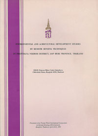
พิมพ์ครั้งแรก พ.ศ.2533
กลับไปหน้าที่แล้ว
Environmental and Agricultural Development Studies by Remote Sensing Techniques in Phatthana Nikhom District, Lop Buri Province, Thailand
เป็นปาฐกถาพระราชทานในงาน “The Twenty-Third International Symposium on Remote Sensing of Environment” ซึ่งจัดขึ้นระหว่างวันที่ ๑๘ - ๒๕ เมษายน พ.ศ. ๒๕๓๓ ณ กรุงเทพมหานคร
ทรงศึกษาเรื่องทรัพยากรธรรมชาติและสิ่งแวดล้อม เพื่อวางแผนการใช้ที่ดินสำหรับการเกษตร ในพื้นที่อำเภอพัฒนานิคม จังหวัดลพบุรี
เนื้อความบางส่วนจากบทสรุป
“…The maps and information obtained by this project will be used in a GIS. It is anticipated that results of the GIS analysis will provide information which will be used for the integrated rural development work, which will include: better agricultural and farming systems, improving cultivation practices, and upgrading of standard of living and the settlement as a whole…"

